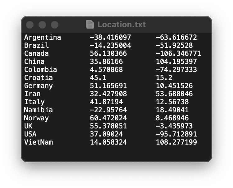
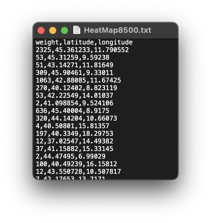
Input data - continuous model
|
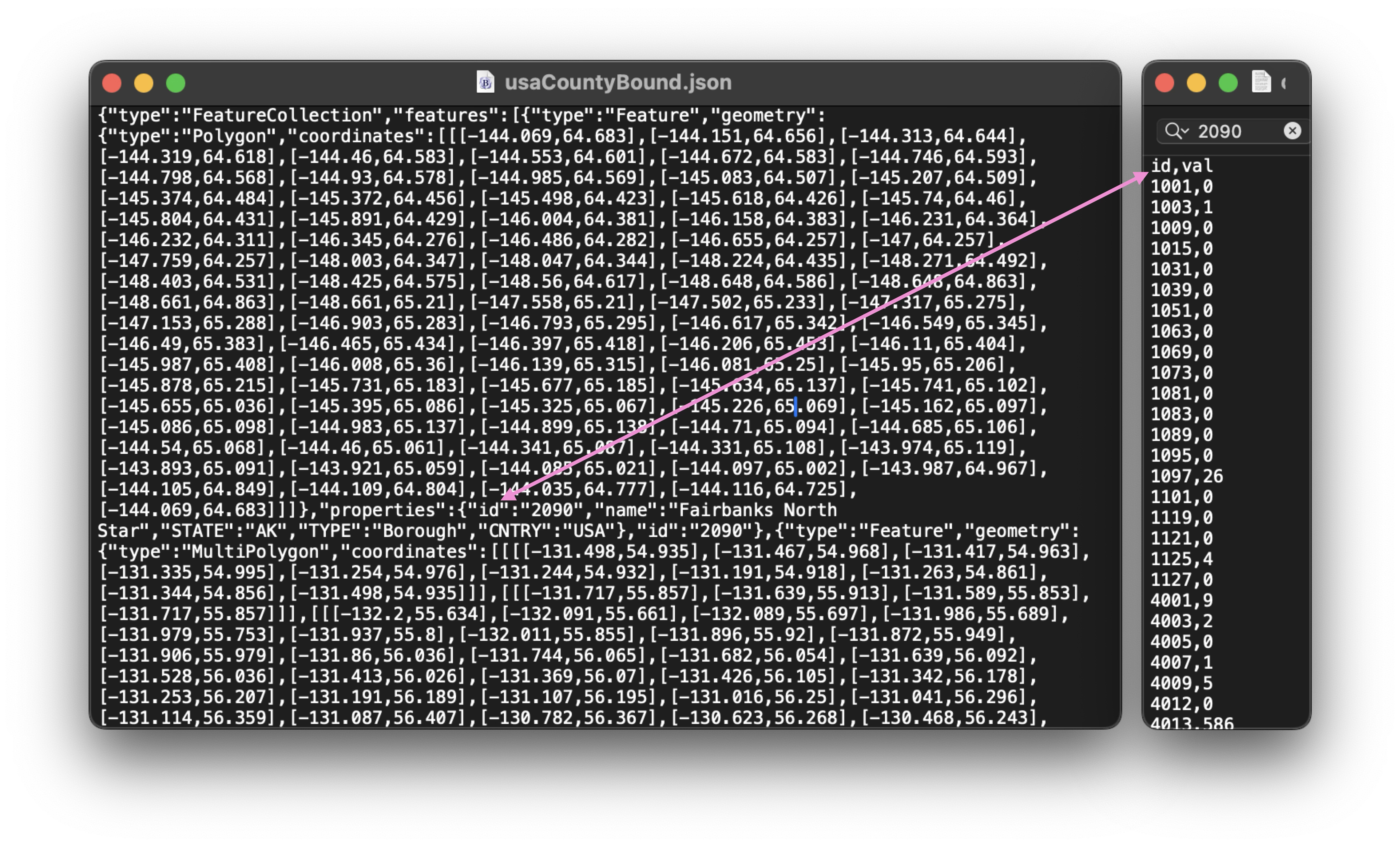
The MCC tree follows the NEXUS format:
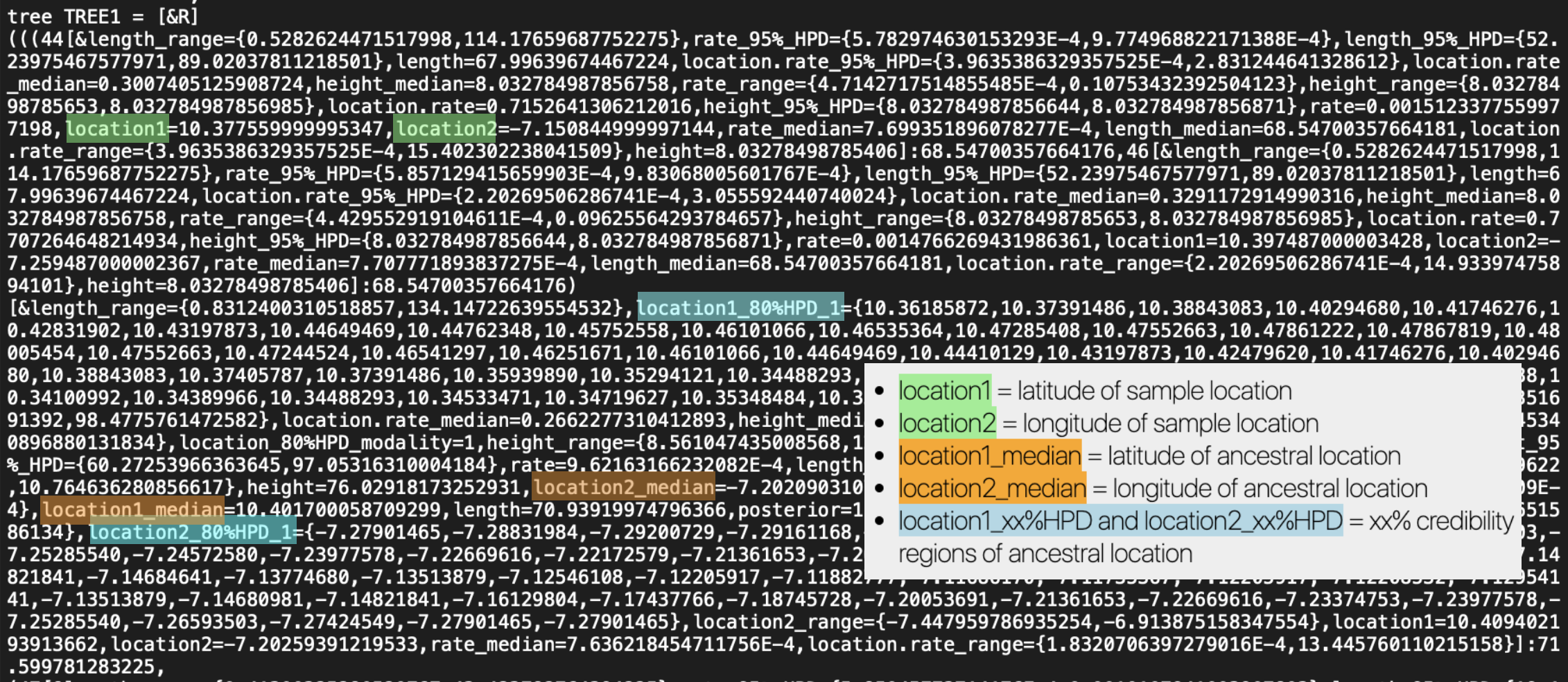
Nota Bene: the import phase may cause issues due to different versions of the software used or the options selected during the analysis, which can lead to differences in the structuring of data within the NEXUS file. If editing the file does not resolve the issue, feel free to contact me. This helps review the EvoLaps parser used during the import phase. |